How Space Tech Is Fighting Climate Change on Earth | Souparna
How Space Tech Is Fighting Climate Change on Earth

Introduction
A satellite hovering hundreds of miles above Earth
spots a wildfire minutes after it sparks. Emergency teams receive the alert,
evacuations begin instantly, and thousands of lives and homes are saved. This
isn’t sci-fi, this happened several times last year thanks to rapid satellite
detection.
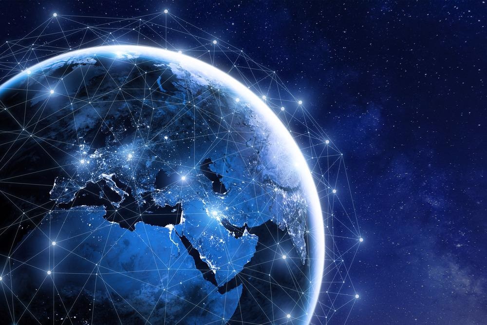
Space technology is no longer just about exploring
distant planets. Today, satellites, sensors, and orbital instruments are
quietly watching over our planet in real time. They track oceans, forests,
storms, and carbon pollution with a precision no ground system can match.
And the impact is growing fast. Earth-observation data
production has shot up by 30% since 2020, unlocking new ways to
fight climate change every single day.
In this blog, you’ll discover how satellites reveal
climate shifts, catch illegal logging, track emissions, improve disaster
forecasting, and even support clean-energy solutions. By the end, you’ll know
the real wins happening today—and what you can do to take
action.
Satellites Spot Climate Shifts

Ice Melt and Sea Rise Tracking
If you want proof of climate change, look no further
than the ice sheets. NASA’s GRACE satellites have been monitoring Earth’s
gravity changes for years—and the data is alarming. Greenland alone has
been losing around 280 billion tons of ice every year, contributing
directly to global sea-level rise.
Then comes ICESat-2, a laser-based satellite so
precise that it measures ice height to within one centimeter. That
level of accuracy would be impossible from aircraft or ground stations.
As one NASA climate scientist puts it: “Satellites give us eyes we can’t place on the ground.”
These space-based observations help scientists
forecast sea-level rise, guide coastal planning, and warn nations about future
risks.
Takeaways for readers:
- Explore
free ice-mapping tools like NASA Earthdata or NOAA’s Sea Level Dashboard.
- Support
government and private funding for Earth-observation missions—they form
the backbone of climate science.
Deforestation Alerts
Forests absorb huge amounts of carbon, but they’re
disappearing fast. Satellites are our best defense.
Planet Labs operates a constellation of small
satellites that take daily pictures of Earth. In 2024, imagery from them
allowed authorities to detect 20% more illegal logging in the Amazon than had
been found the year before.
Tools like Global Forest Watch take it a step further:
by sending daily alerts to NGOs, journalists, and indigenous people who live
near the most vulnerable forests, they let locals know within hours when a
stand of trees has vanished.
A few important stats:
- Brazil
reduced tree loss by 11% in 2024, thanks partly to
space-based surveillance.
- Alerts
now reach forest communities in hours, not weeks.
By making deforestation visible, satellites are
turning global citizens into watchdogs.
Pinpoint Carbon Footprints
Emission Hotspots from Orbit
Carbon dioxide and methane are the biggest drivers of
climate change—and both are hard to detect from the ground. But GHGSat’s
advanced sensors can spot gas leaks from space with incredible accuracy.
In 2024 alone, GHGSat satellites identified 500+
major methane leak sites around the world. Fossil fuel companies were
alerted, and many responded quickly. In one widely cited case, firms fixed
leaks after receiving satellite data and cut emissions by 15% in
a single year.
As an ESA researcher explains: “Space lets us see gases that are invisible from the ground.”
This transparency forces industries to take
responsibility—and gives regulators independent, verifiable data.
Ocean Carbon Sinks
Oceans absorb nearly 25% of human carbon
emissions, acting as a natural buffer. But this capacity changes with
temperature, acidity, and ecosystem health.
Copernicus satellites constantly monitor ocean color,
plankton levels, and CO₂ uptake. This data helps scientists understand how
effectively the seas are storing carbon—and where restoration efforts are most
needed.
What you can do:
- Explore
ocean data via the Marine Copernicus app or portal.
- Support
blue-carbon projects such as mangrove restoration or seagrass protection.
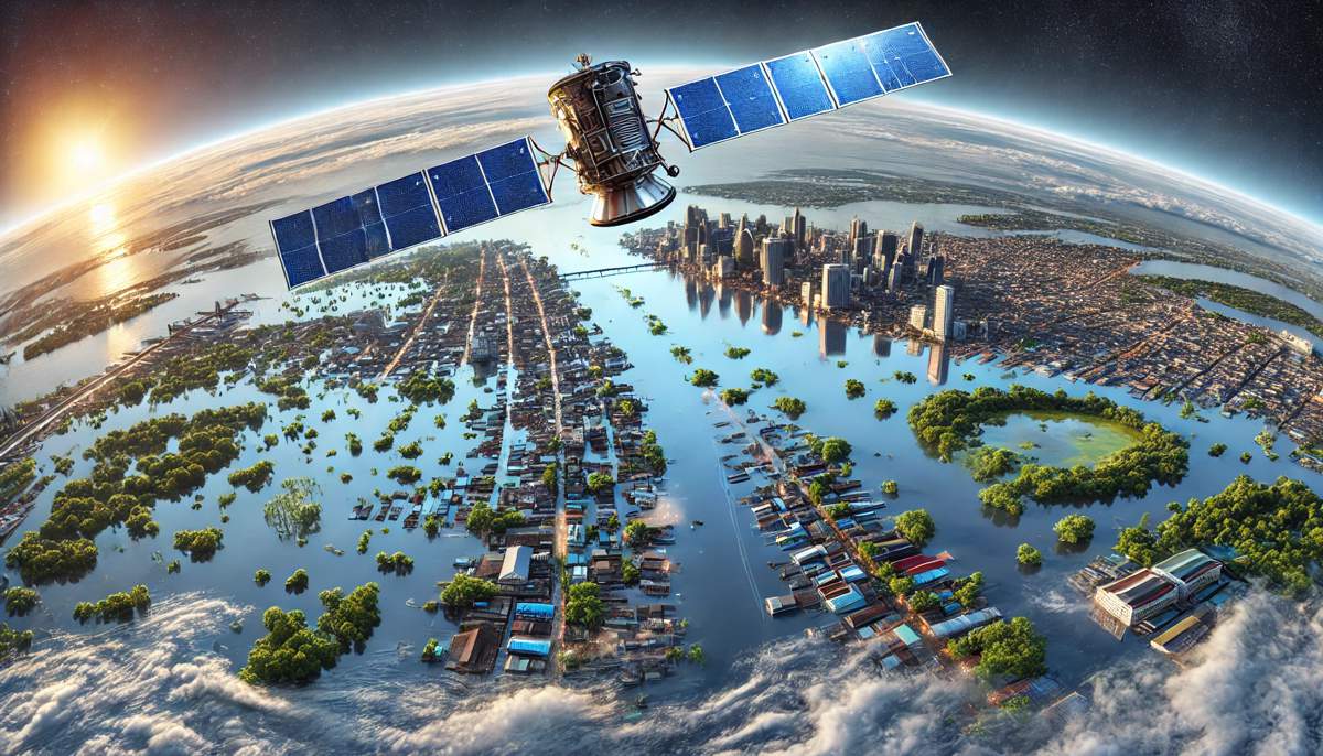
Predict and Prep for Wild Weather
Hurricane and Flood Forecasts

Climate change is making storms stronger and more
unpredictable. Thankfully, satellites like GOES provide early
storm tracking that can save lives and reduce damage.
In 2024, satellite-guided forecasts saved an
estimated $10 billion in potential losses by predicting storm
paths hours earlier than before. For Hurricane Milton, NOAA used space data to
refine warnings and help millions evacuate in time.
Drought Monitoring
While storms intensify, other regions face extreme
dryness. NASA’s SMAP satellite measures global soil moisture,
helping governments plan water usage months in advance.
SMAP data helped Indian agricultural planners
anticipate drought zones, shifting irrigation priorities and protecting crop
yields.
As one UN climate expert stated: “Early drought info feeds millions.”
Takeaways:
- Farmers
can regularly check soil-moisture maps through satellite apps.
- Cities
can use early warnings to build water reserves before drought hits.
Aid Green Solutions on Ground
Smart Farming from Above
Agriculture is getting a high-tech makeover. Drones
and CubeSats give farmers real-time insights into soil health, crop stress, and
water needs. Studies show that smart farming powered by space data can boost
crop yields by 20% while using less water.
John Deere has already integrated satellite insights
directly into tractor systems across the US Midwest. This reduces fertilizer
waste and improves efficiency—good for farmers and the planet.
Renewable Energy Sites
Before building solar farms or wind turbines, planners
need precise information about sunlight, temperature, land usage, and wind
speeds. Satellites provide this data instantly.
Using space-based mapping, companies have cut
renewable-energy site-setup costs by 30%. Google’s DeepMind even
uses space data to improve the output of wind farms via AI modelling.
Action steps for readers:
- Use
satellite-based solar calculators before installing panels at home.
- Vote
for and support policies that accelerate renewable energy projects.
Conclusion
Space technology is no longer a distant dream—it’s a
powerful, practical tool shaping our climate future. From tracking melting ice
with centimetre accuracy to detecting methane leaks from orbit, satellites have
reduced emissions-tracking errors by 40% and made
environmental monitoring faster and more reliable than ever.
Now it’s your turn to act. Download Earth-observation
apps like NASA Worldview, Global Forest Watch, or Marine Copernicus. Share
climate data with your community. Stay aware, stay informed, and stay involved.
Space tools are turning the fight against climate change into a series of daily wins. Act now, and help create a planet that thrives - today, tomorrow and beyond.


Comments
Post a Comment